

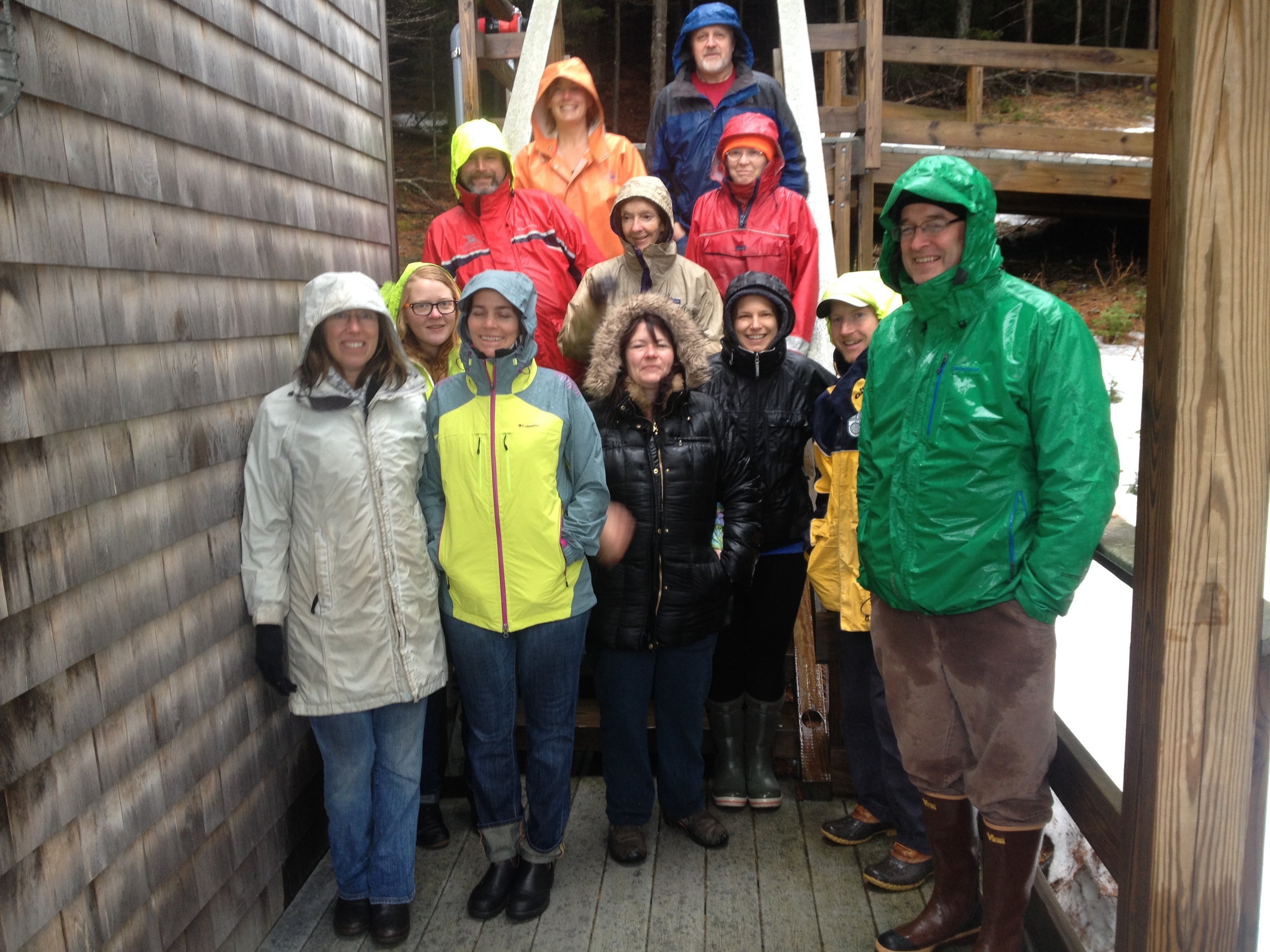
Workshop attendees tour the Bowdoin Coastal Studies Center in Harpswell, ME.
Alice, HIF Science Educator, and I had the opportunity to participate in a weekend Gulf of Maine field station gathering (March 28th - 30th, 2014) at Bowdoin College in Brunswick, ME. Participants included representatives from 12 Gulf of Maine field research stations, including: the Bates-Morse Mountain Conservation Area and the Coastal Center at Shortridge (Bates College), Bowdoin College Marine Laboratory & Coastal Studies Center and Bowdoin Scientific Station at Kent Island, College of the Atlantic's McCormick Blair Mount Desert Rock Field Station and Great Duck Island Eno Marine Field Station, Suffolk University's R.S. Friedman Field Station and Cobscook Bay Laboratory, Schoodic Institute's Schoodic Education and Research Center, Shoals Marine Lab which is associated with the University of New Hampshire and Cornell University, the UMass Boston Nantucket Field Station, the UMass Marine Station at Hodgkins Cove, and Acadia University's Evelyn and Morrill Richardson Field Station in Biology on Bon Portage Island.
We came away from this gathering excited about all of the opportunities there are for collaboration in the Gulf of Maine, and we look forward to becoming part of a formal network of field stations that will coordinate monitoring efforts, share resources, and leverage our collective expertise to promote the role of place-based science in our changing world. We gained invaluable knowledge about how other field stations operate, their research agendas, and how Hurricane Island's Field Research Station can fit into but also build upon and improve the research capacity in the Gulf of Maine. Stay tuned-- more Gulf of Maine Field Station Network updates soon!


